Other uses for Orthomosaic maps
Surveying isn’t the only sector that can benefit from the use of orthoimages. Some of the most common sectors making use of ortho maps include:
- Farming: Taking multiple orthoimages over time can allow farmers to spot patterns in how their crops are growing over time. This is especially important for monitoring crop health.
- Law enforcement: Police officers and firefighters use UAV mapping to map out busy areas and crime scenes. With their higher level of detail, an ortho map may be able to capture important details that would otherwise be missed.
- Real estate: Orthomosaic maps of properties can be turned into interactive virtual tours. This feature was especially important during the height of the COVID-19 pandemic when in-person property tours were limited.
- Environmental conservation: Conservationists can utilize an Orthomosaic photo to spot endangered animals in a set land parameter or capture change over time.
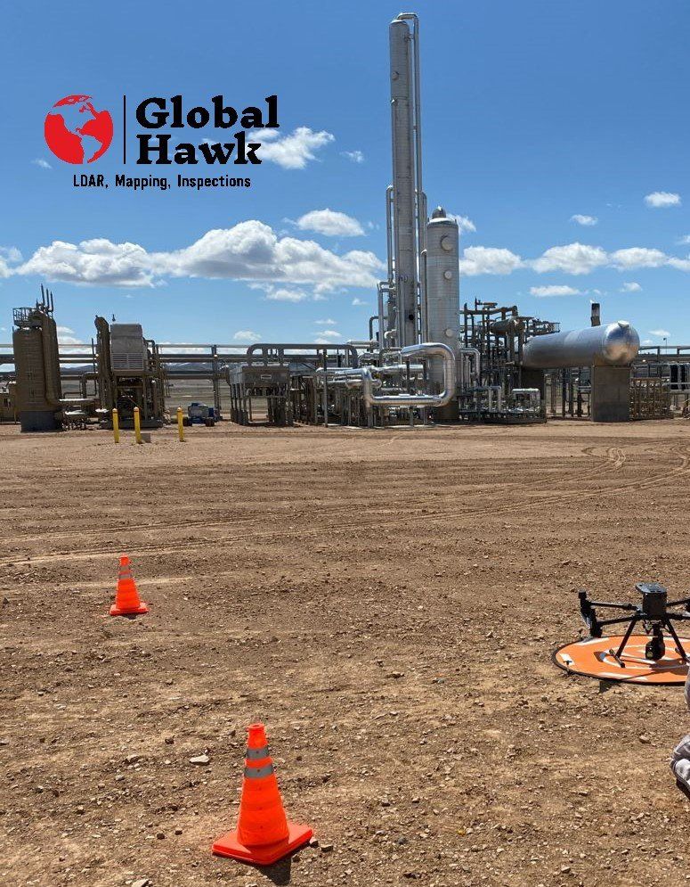
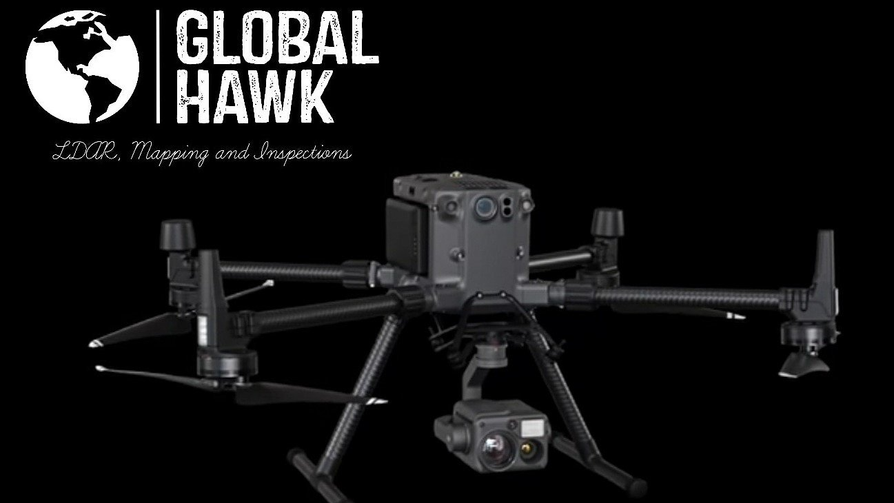
Across the board orthoimages and maps are useful for both detailed imaging and topographic accuracy. Whether you’re looking to use Orthomosaic imaging for land surveying or one of its other wide-ranging applications, Global Hawk has the ideal EPA, DOT, CDPHE, & AIMM Certified M.W.I.R. LDAR Ventus OGI-Camera's, Drones, and Equipment. We also use the best technology in RGB Camera Payloads, Surveying Capable Accuracies and Professional Equipment and Mapping Software for the jobs & Projects at hand.
