*ARC FLASH STUDIES*
*3D MAPPING*
*PHOTOMETRY*
*LDAR*
*GAS MAPPING*
*AutoCAD Image Data*
*Orthomosaic Maps*
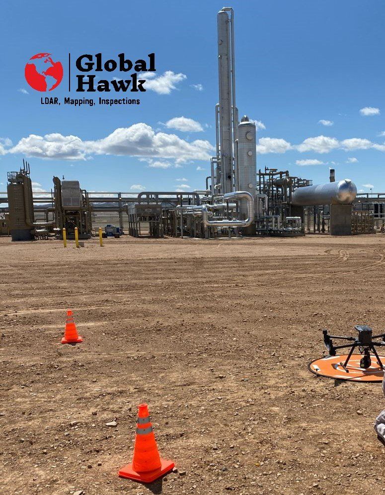
LDAR Imaging & Mapping
Best Technology in LDAR
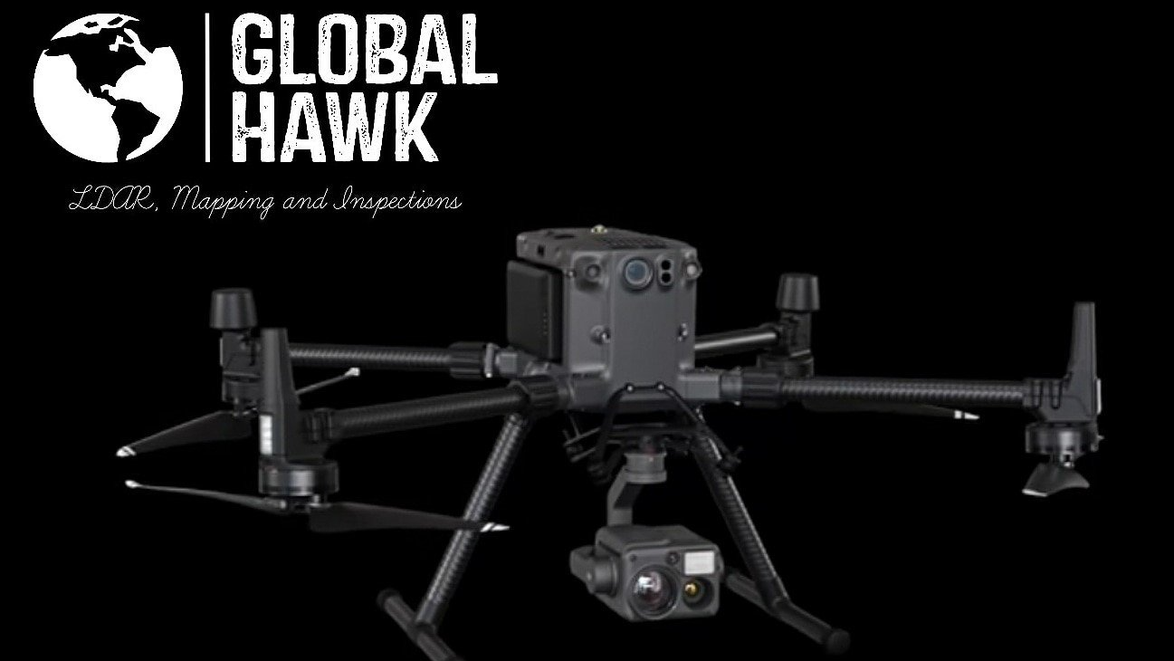
With the newest and best DJI Enterprise technology in Drones and Cameras Global Hawk can provide the best in Photo Mapping of any project or asset that you need or want. The Zenmuse H20-T Camera is the best in Thermal (LWIR) and zoom camera technology in use today on any commercial drone package.
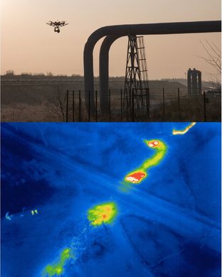
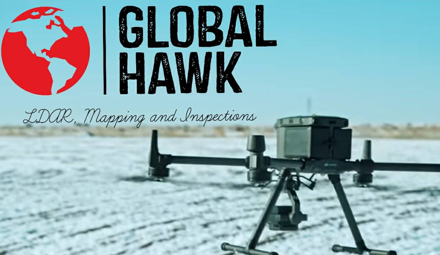
Thermal Imaging and Gas Mapping
Gas Mapping and Leak Inspection
Thermal imaging can help with Gas mapping on a site or a plant. This is an amazing drone service that allows the drone to pick up weak integrity spots on material walls as well as leaks in connecting joints in the lines.
3D Mapping and photometry
Amazing Technology
With
3D and topographic imagery and mapping you can get high elevation Aerial views with an amazingly high pixel count. For any operations leader or project manager, this can cut costs and show progress with detailed images of any asset or project. Offering AutoCAD GeoTIFF File conversion and the ability to work with the CAD software will be an amazing short cut and cost savings for all Ops Managers and Engineers combined. Follow site construction, Erosion control and progressions, and see how easy it would be to add or subtract from an existing asset.
Looking to the Future of Inspections with "Unmanned Aerial Systems"
*Traditional Challenges in Emergency Response**Emergency repairs require timely coordination between onsite and offsite teams, which can be hard to manage from the ground alone.*Repairs that involve hot work must be monitored closely to ensure safety and compliance.
*Repairs can take place simultaneously at multiple locations onsite, which can be difficult to monitor.
*How Drones Elevate Emergency Response**Deploy to quickly map the scene of the accident, providing crucial information on the scale so teams can set a plan of action.*Monitor hot work sites from the air, sending live feeds to the command center to rapidly coordinate team assignments.
*Email Us now*

